The community that I live in is called Jameson or Mantamaru. It is situated among the Ngaanyatjarra Lands which is home to some of Australia's most remote communities.
 |
| Image source - Telecommunications Journal of Australia |
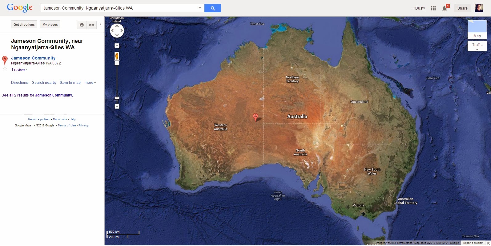 |
| Image source - Google Maps |
 |
| Image Source - Google Maps |
It is a tiny community, it has a school, grocery store, a clinic manned by one nurse, a church, women's centre and a town hall.
It is a HUGE distance from my home town in South Australia, unfortunately Google maps couldn't give me directions to Jameson from Adelaide or Perth so the following images are to Warburton, another community situated 125kms west of Jameson.
 |
| Adelaide, SA to Warburton, WA Image Source - Google Maps |
 |
| Perth, WA to Warburton, WA. Perth is our closest capital city. Image Source - Google Maps |
HISTORY
"Mantamaru or Jameson is located at the base of the Jameson Range in the Central Ranges region. The community takes its English name from these ranges, which in turn took their name from an early European explorer. Mantamaru and Parnamaru (the original name of the community when it first became incorporated) both translate in Ngaanyatjarra and Pitjantjatjara respectively as black (maru) ground (manta or parna) which describes the ground cover of small black stones found around the Jameson Range. The other name which is sometimes used by yarnangu is Wirrlkuralnya, which is the name of a spring in the Jameson Range. The residents are all Ngaanyatjarra speakers.
Many of the present day residents of Mantamaru were educated at Warburton Mission. A small number went to Ernabella Mission in South Australia. The close proximity of Mantamaru to Warburton allowed many to move back and forth between their traditional country and the mission with relative ease. During school holidays parents of the now middle-aged men and women living at Jameson would take their children out of the mission to travel with them on foot. These journeys would last several months and usually occurred in summer time when the waterholes had been replenished from summer rains.
Like Irrunytju, the community was established in the vicinity of a mining camp, in this case it was Southwestern Mining, a subsidiary of International Nickel. In the early days of the outstation residents camped at Wirrkuralynga, a short distance from the existing community, because of the poor quality of water from the existing bore near the mining camp. Homelands funding was later provided for a store, a generator, a new bore and a vehicle to transport supplies from Warburton. The community became incorporated in 1976 and a member of the Ngaanyatjarra Council in 1981.
Today, as at Irrunytju the miners are back looking for nickel, with a large deposit of sulphide nickel having been identified 30km south of the community." -source Shire of Ngaanyatjarraku


No comments:
Post a Comment
I'd love to know what you think of my post, let me know in the comments!